HOW WELL DO YOU KNOW YOUR OREGON GEOGRAPHY?
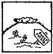
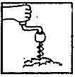
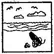
Take this test and find out!

Hint - Historic timber community settled in 1847 located between Roseburg and EugeneHint:  Think Oktoberfest - Oregon's oldest since 1966Hint:  Named for the southern route of the Oregon TrailHint:  the only crossing from the mouth of the Deschutes to Bend (in 1872)Hint:  A Portland suburb at the foot of Bull MountainHint:  Largest City on the South Umpqua RiverHint:  Inland 'coastal' communityHint:  Oregon's Playground (so they say!)Hint:  City of Unity (hey - that's what it says on their website!)Hint:  The Jewel of Central OregonHint:  But it's not really all that big...Hint - "Happy Rock" isn't going to cut it.  They are home to the "Pow Wow Tree!"Hint:  Lewis and Clark probably spent some time sunning themselves on a beach near hereHint:  You should never do things this wayHint:  It's Joe's "F" for sure, and he was a chief!Hint:  At the junction of Old Stage Rd. and South Stage Rd.  You'll have to wait a long time to catch a stage these days, though...Hint:  Not to be confused with the non-directional varietyHint:  Salt making capital of the Northwest (at least for one rainy winter in 1805)Hint: Gateway to the beautiful Chewaucan River!Hint:  This city is an ISP and provides broadband connection for all its residents!Hint:  Muddy Frogwater CountryHint:  Think "Darlingtonia"Hint:  I don't think they've used it since 1849...Hint:  Try not to set it too high...

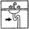
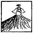
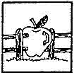
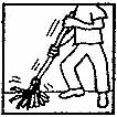
Click on the images to view a map with the answer.
BACK